Guide to Greenwich Waterfront Neighborhoods
Choosing the right Greenwich waterfront neighborhood is about much more than a view. You want the lifestyle that fits how you boat, how you beach, and how you get to the city, along with a clear plan for permits, insurance, and long-term resilience. If you are weighing primary or second-home options along the Sound, it helps to understand each pocket’s access, trade-offs, and practical details. This guide breaks down the shoreline by enclave, then covers boating, commuting, and the key due diligence you should expect before you buy. Let’s dive in.
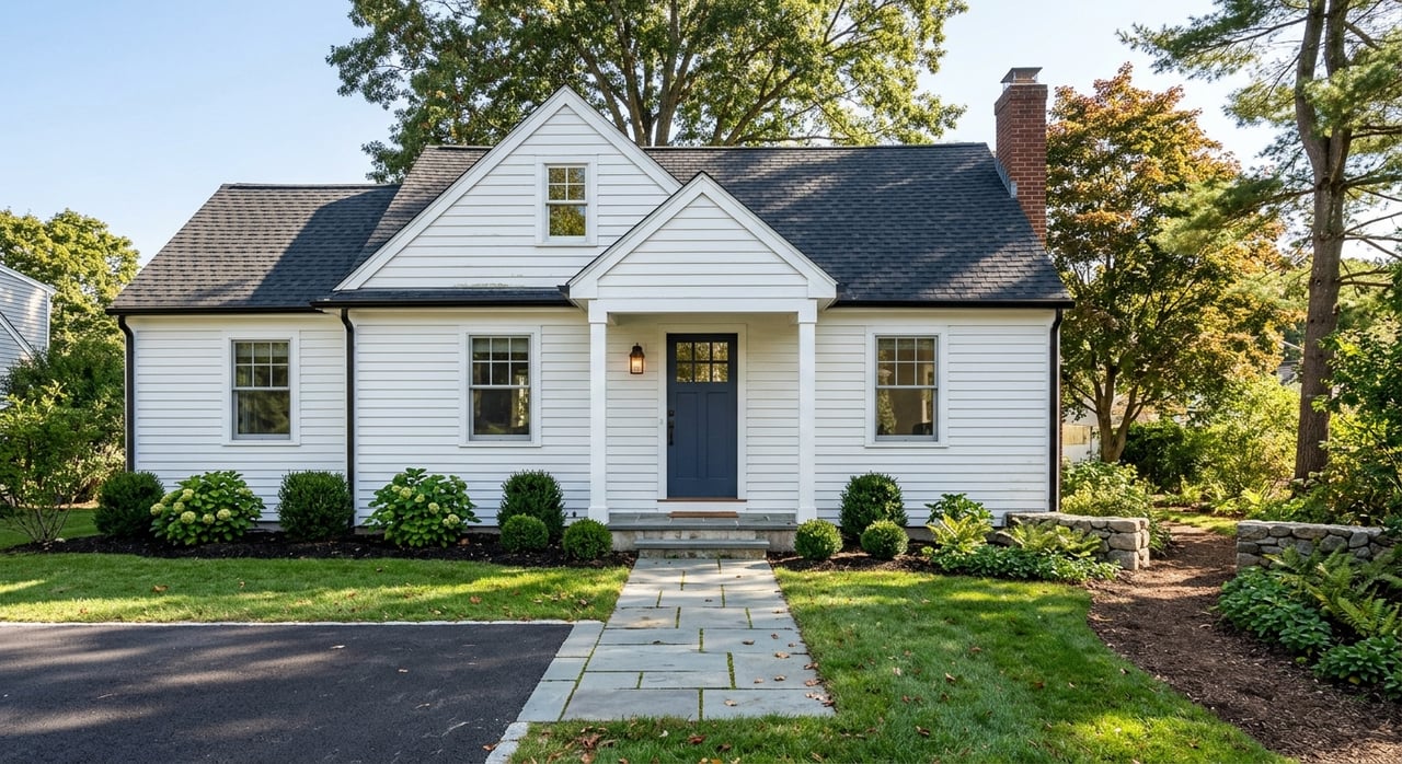
Greenwich’s shoreline unfolds as a series of distinct pockets. Some offer private estates with beach associations and dock rights. Others center on public parks and harbors with easy access to town amenities and trains. Your best fit depends on how you plan to use the water, how you commute, and the level of privacy you prefer.
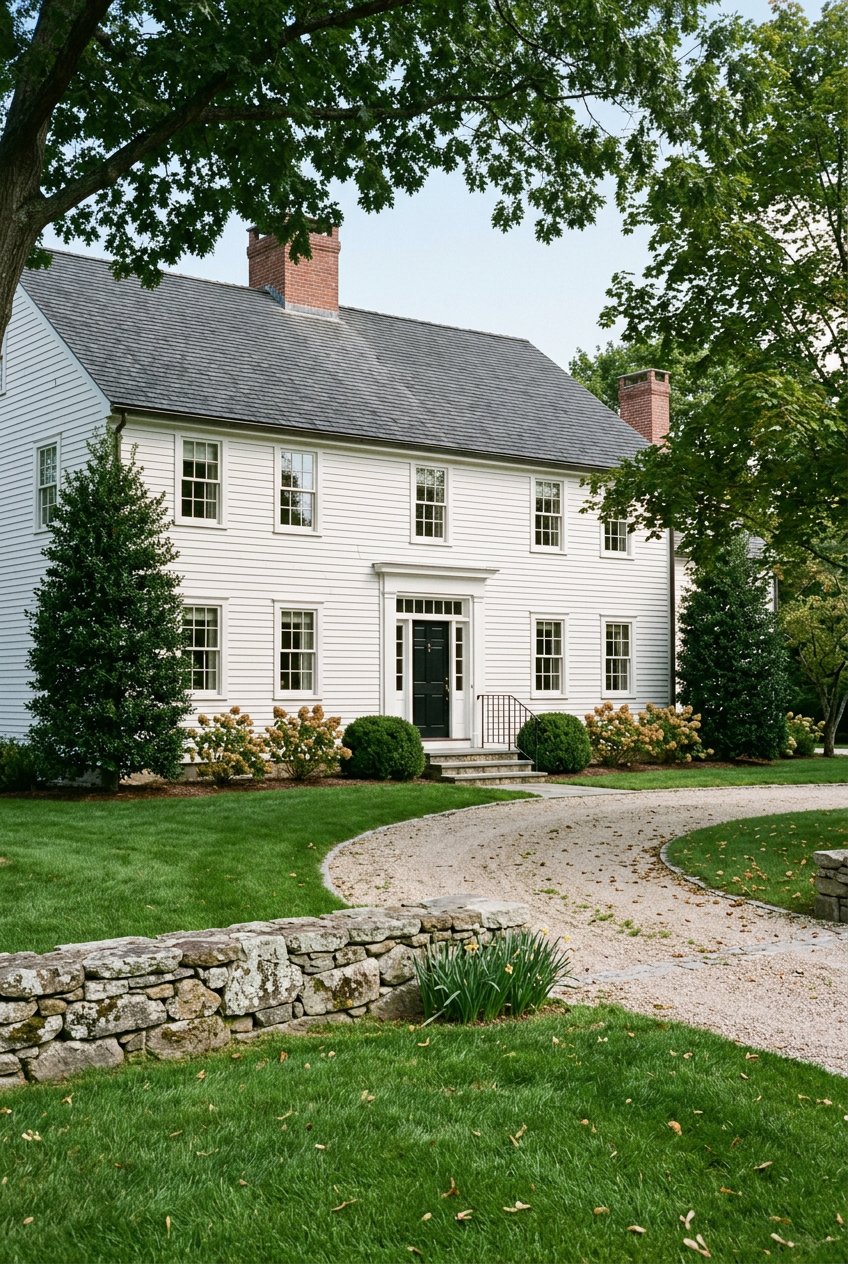
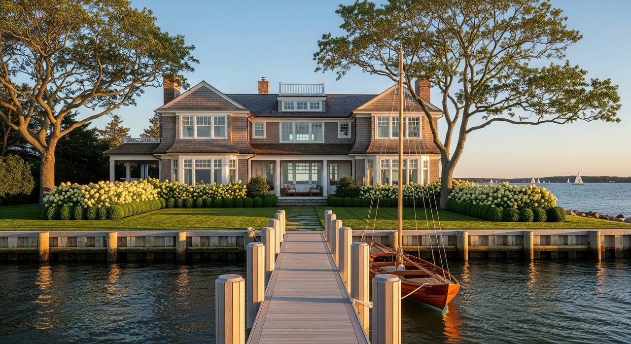
This peninsula east of Greenwich Harbor concentrates private estates, sheltered coves, and private associations. You find a quiet, club-style waterfront experience with options for moorings, slips, and deeded beach rights on select properties. The area is a short drive to central Greenwich for dining and services.
Typical trade-offs include higher land values, association bylaws that can affect use, and more limited public beach access. If you want a private dock or specific beach rights, verify deed language and association documents during diligence.
The central harbor and the peninsula that includes Greenwich Point Park deliver public beaches, trails, picnic areas, and town-operated amenities. You get a lively shoreline with a mix of single-family homes and town properties near downtown restaurants, marinas, and services. Day-boating is straightforward from town facilities, and seasonal park life is a draw.
The trade-off is popularity in peak months. Expect parking rules, resident permits in season, and increased visitation on sunny weekends. If you plan frequent beach days, review current park and permit details with the Town of Greenwich.
Set along the Mianus River and Cos Cob Harbor, this area offers smaller harbors, local yacht and sailing clubs, and a village feel. Access to the Cos Cob Metro-North station is convenient for many streets. Buyers who value a neighborhood marina and protected moorings often look here.
Trade-offs include tidal influence in creek-side locations and varied lot sizes along tight-in coves versus broader riverfront parcels. Dredging history and channel depths can matter if you run a larger draft boat.
Along the Byram River and close to the Stamford line, Riverside blends riverfront and Sound-access homes with nearby parks and marinas. Proximity to the Riverside Metro-North station supports a practical commute. It is a good fit if you like a residential setting with train access.
Be mindful of floodplain dynamics in low-lying areas and the need to navigate river mouths to reach open Sound. If you prefer deep-water slips, confirm marina availability and channel depth at low tide.
East of the harbor, Old Greenwich centers on a walkable village with access to beaches and parks. You will see a range of historic cottages and renovated homes, plus seasonal shoreline activity. Occasional seasonal ferries and tours operate from nearby points, and services vary by year.
Expect seasonal crowds at the beaches and variable lot sizes. If you plan to renovate or expand, check local zoning, historic considerations, and any coastal setbacks that may shape what you can build.
The New Haven Line serves Greenwich with stations at Greenwich, Cos Cob, Riverside, and Old Greenwich. Express and local trains differ in travel time, and peak service can shorten the commute. Always confirm current schedules and parking options with the Metro-North New Haven Line.
I-95 runs along the Sound for coastal access. U.S. Route 1 handles local traffic through village centers. The Merritt Parkway offers an inland route for some trips, though commercial traffic restrictions apply.
Westchester County Airport is the closest commercial option for regional and private flights. LaGuardia, JFK, and Newark are accessible by car or through rail and car connections. Choose based on airline, schedule, and your origin point.
Many shoreline parcels sit in mapped flood zones on FEMA Flood Insurance Rate Maps. Lenders often require flood insurance in specific zones, and finished-floor elevation can affect premiums. To evaluate risk, consult FEMA flood maps and obtain an elevation certificate, then compare quotes from the NFIP and private flood carriers.
Regional sea-level trends are documented, and some areas experience more frequent high-tide or nuisance flooding. Review NOAA sea-level resources and town resilience plans to frame near-term and long-term scenarios for a parcel.
Hard structures like seawalls and bulkheads influence sediment movement and often require permits to build or repair. Maintenance is the owner’s responsibility and can be costly. Ask for prior permits, engineering reports, and repair history when you review a waterfront property.
Sewer service varies by neighborhood. Some coastal lots remain on septic systems with specific setback and design rules. If you plan to add bedrooms or a pool house, confirm sewer maps and health department requirements early.
Local zoning and coastal setbacks shape building envelopes for additions, pools, or new docks. Private associations may also apply architectural review, transfer fees, membership limits, or use rules. Make association document review part of your offer diligence.
Siltation can change channel depths and affect access for deeper draft boats. For regional navigation updates and projects, monitor the U.S. Army Corps of Engineers. Ask for local dredging history if a property sits on a cove or inlet.
Use this quick framework to align lifestyle, logistics, and risk.
A successful waterfront purchase balances vision with verified facts. You deserve a team that pairs on-the-water knowledge with thorough due diligence, from dock rights and mooring permits to flood and elevation details. Our concierge model coordinates the right experts, connects you with quiet opportunities, and keeps your decisions data grounded, so you can enjoy the Sound with confidence.
Ready to zero in on the right Greenwich shoreline fit or position your waterfront home for a top-dollar sale? Connect with Jackie Davis for a confidential consultation.
Get assistance in determining current property value, crafting a competitive offer, writing and negotiating a contract, and much more. Contact us today.